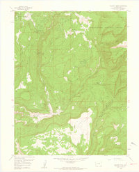
1960 Map of Calamity Mesa
USGS Topo · Published 1961About this map
Calamity Camp and Arrowhead Camp anchor this rugged section of the Colorado plateau, reflecting a landscape defined by mid-century uranium and vanadium prospecting. The terrain is a complex network of high mesas and deep drainages, where Potato Mountain rises above the vast expanse of Outlaw Mesa and Calamity Mesa. The map reveals a high density of mining activity, with numerous named operations like the Hidden Treasure Mine, Cliffdweller Mines, and the Stormy Treasure Mine dotting the canyon walls.
Find a feature on this map
38 named features on this map. Tap any name to fly to it.
Don’t see what you’re looking for? This feature index may not catch every label — zoom into the map to look around manually.
Map Details
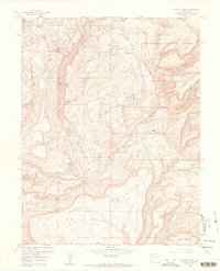
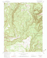
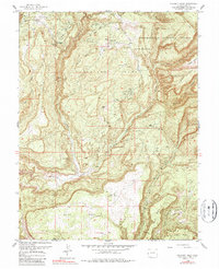
Editions of this 1960 Calamity Mesa Map
4 editions found
Other maps of this area

1916 · Paradox Valley
USGS Topo · 1:125,000

1922 · Paradox Valley
USGS Topo · 1:125,000

1948 · Roc Creek
USGS Topo · 1:24,000

1949 · Roc Creek
USGS Topo · 1:24,000

1949 · Juanita Arch
USGS Topo · 1:24,000

1949 · Atkinson Creek
USGS Topo · 1:24,000

1949 · Red Canyon
USGS Topo · 1:24,000

1949 · Calamity Mesa
USGS Topo · 1:24,000

1949 · Gateway
USGS Topo · 1:24,000

1950 · Juanita Arch
USGS Topo · 1:24,000