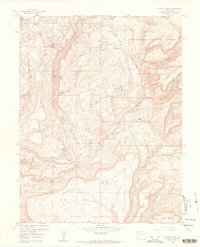
1960 Map of Calamity Mesa
USGS Topo · Published 1961About this map
The rugged plateau of Outlaw Mesa and Calamity Mesa defines this high-desert landscape in western Colorado during the height of the mid-century uranium and vanadium mining era. Numerous small-scale operations are scattered throughout the canyons, including the Hidden Treasure Mine, Cliffdweller Mines, and Stormy Treasure Mine. The presence of several established encampments such as Calamity Camp and Climax Camp suggests a specialized workforce living on-site to service these remote claims. An Airstrip located on the level ground of Outlaw Mesa highlights the necessity of air transport in this difficult terrain. To the east, the Uncompahgre National Forest provides a stark contrast to the deep incisions of Blue Creek and Calamity Creek, where the drainage network has carved complex paths through Potato Mountain and the surrounding tablelands.
Find a feature on this map
53 named features on this map. Tap any name to fly to it.
Don’t see what you’re looking for? This feature index may not catch every label — zoom into the map to look around manually.
Map Details
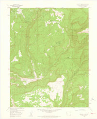
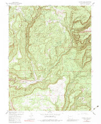
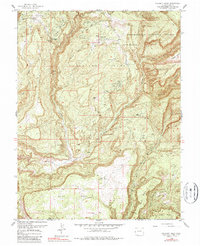
Editions of this 1960 Calamity Mesa Map
4 editions found
Other maps of this area

1916 · Paradox Valley
USGS Topo · 1:125,000

1922 · Paradox Valley
USGS Topo · 1:125,000

1948 · Roc Creek
USGS Topo · 1:24,000

1949 · Roc Creek
USGS Topo · 1:24,000

1949 · Juanita Arch
USGS Topo · 1:24,000

1949 · Atkinson Creek
USGS Topo · 1:24,000

1949 · Red Canyon
USGS Topo · 1:24,000

1949 · Calamity Mesa
USGS Topo · 1:24,000

1949 · Gateway
USGS Topo · 1:24,000

1950 · Juanita Arch
USGS Topo · 1:24,000