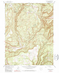
1960 Map of Calamity Mesa
USGS Topo · Published 1987About this map
Mining operations and remote seasonal settlements define this 1960 survey of the plateau country along the boundary of Mesa and Montrose Counties. The landscape is dominated by high mesas, including Calamity Mesa and Outlaw Mesa, which are incised by the deep drainage of Blue Creek. The density of industrial labels such as the Arrowhead Mines, Blue Creek Mines, and Calamity Mines indicates an era of intensive uranium and vanadium prospecting in the Colorado Plateau.
Find a feature on this map
30 named features on this map. Tap any name to fly to it.
Don’t see what you’re looking for? This feature index may not catch every label — zoom into the map to look around manually.
Map Details
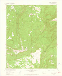
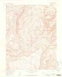
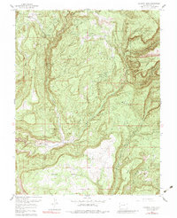
Editions of this 1960 Calamity Mesa Map
4 editions found
Other maps of this area

1916 · Paradox Valley
USGS Topo · 1:125,000

1922 · Paradox Valley
USGS Topo · 1:125,000

1948 · Roc Creek
USGS Topo · 1:24,000

1949 · Roc Creek
USGS Topo · 1:24,000

1949 · Juanita Arch
USGS Topo · 1:24,000

1949 · Atkinson Creek
USGS Topo · 1:24,000

1949 · Red Canyon
USGS Topo · 1:24,000

1949 · Calamity Mesa
USGS Topo · 1:24,000

1949 · Gateway
USGS Topo · 1:24,000

1950 · Juanita Arch
USGS Topo · 1:24,000