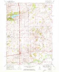
1970 Map of Caledonia
USGS Topo · Published 1972About this map
Caledonia and Argyle sit along the Chicago and North Western rail line in this 1970 snapshot of northern Illinois. The landscape is defined by the transition from rural township life to the suburban expansion of Rockford, visible in the development around Rock Valley College and several local institutions like Bell Sch. Water features such as the Kishwaukee River and Pierce Lake within Lowden State Park anchor the recreation areas, while the Northwest Tollway provides a modern artery through the central terrain.
Find a feature on this map
71 named features on this map. Tap any name to fly to it.
Don’t see what you’re looking for? This feature index may not catch every label — zoom into the map to look around manually.
Map Details
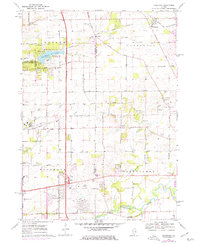
Editions of this 1970 Caledonia Map
2 editions found
Other maps of this area

1917 · Kings
USGS Topo · 1:62,500

1918 · Rockford
USGS Topo · 1:62,500

1918 · Belvidere
USGS Topo · 1:62,500

1918 · Kings
USGS Topo · 1:62,500

1918 · Kirkland
USGS Topo · 1:62,500

1938 · Rockford
USGS Topo · 1:62,500

1944 · Belvidere
USGS Topo · 1:62,500

1949 · Camp Grant
USGS Topo · 1:24,000

1949 · Rockford
USGS Topo · 1:24,000

1954 · Rockford
USGS Topo · 1:250,000