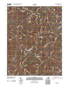
2010 Map of Caledonia
USGS Topo · Published 2010About this map
Shannon Hills Farms and Tabscott anchor this section of central Virginia, where the landscape is defined by a dense network of winding creeks and small-scale water management. Evidence of long-standing family landholdings appears through sites like Bowles Cemetery and Payne Cemetery, while the rural economy is marked by several localized impoundments such as Bowles Pond, Bonneys Pond, and the Mayo Alexander and Hadens Dam.
Find a feature on this map
64 named features on this map. Tap any name to fly to it.
Don’t see what you’re looking for? This feature index may not catch every label — zoom into the map to look around manually.
Map Details
Editions of this 2010 Caledonia Map
This is the sole edition of this map. No revisions or reprints were ever made.
Other maps of this area

1890 · Goochland
USGS Topo · 1:125,000

1891 · Palmyra
USGS Topo · 1:125,000

1892 · Goochland
USGS Topo · 1:125,000

1895 · Palmyra
USGS Topo · 1:125,000

1897 · Palmyra
USGS Topo · 1:125,000

1942 · Pendleton
USGS Topo · 1:24,000

1943 · Goochland
USGS Topo · 1:31,680

1943 · Pendleton
USGS Topo · 1:31,680

1943 · South Anna
USGS Topo · 1:24,000

1943 · Richmond
USGS Topo · 1:250,000