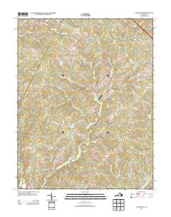
2013 Map of Caledonia
USGS Topo · Published 2013About this map
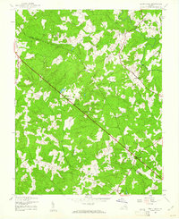
Caledonia and the surrounding Goochland County countryside appear here in the early 21st century, defined by a landscape of sprawling rural residential estates and agricultural operations like Shannon Hills Farms. The area is bounded by a network of small watercourses, including Little Byrd Cr, Mill Cr, and Little Whittle Cr, which drain the varied terrain. This survey captures the layout of several established communities and newer residential developments such as Windsor Park and Hidden Acres.
Find a feature on this map
86 named features on this map. Tap any name to fly to it.
Don’t see what you’re looking for? This feature index may not catch every label — zoom into the map to look around manually.
Map Details
Editions of this 2013 Caledonia Map
This is the sole edition of this map. No revisions or reprints were ever made.
Other maps of this area

1890 · Goochland
USGS Topo · 1:125,000

1891 · Palmyra
USGS Topo · 1:125,000

1892 · Goochland
USGS Topo · 1:125,000

1895 · Palmyra
USGS Topo · 1:125,000

1897 · Palmyra
USGS Topo · 1:125,000
1942 · Pendleton
USGS Topo · 1:24,000
1943 · Goochland
USGS Topo · 1:31,680
1943 · Pendleton
USGS Topo · 1:31,680
1943 · South Anna
USGS Topo · 1:24,000

1943 · Richmond
USGS Topo · 1:250,000