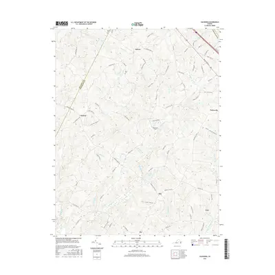
2016 Map of Caledonia
USGS Topo · Published 2016About this map
The rolling landscape of central Virginia is defined by a network of creeks and small settlements along the border of Fluvanna and Goochland Counties. Small communities like Tabscott, Caledonia, and Hadensville serve as focal points for a rural road system that includes the historical Three Chopt Rd and Broad Street Rd. The terrain is etched with numerous watercourses, including Horsepen Cr, Little Byrd Cr, and Peters Cr, which drain the forested hillsides.
Find a feature on this map
73 named features on this map. Tap any name to fly to it.
Don’t see what you’re looking for? This feature index may not catch every label — zoom into the map to look around manually.
Map Details
Editions of this 2016 Caledonia Map
This is the sole edition of this map. No revisions or reprints were ever made.
Other maps of this area

1890 · Goochland
USGS Topo · 1:125,000

1891 · Palmyra
USGS Topo · 1:125,000

1892 · Goochland
USGS Topo · 1:125,000

1895 · Palmyra
USGS Topo · 1:125,000

1897 · Palmyra
USGS Topo · 1:125,000

1942 · Pendleton
USGS Topo · 1:24,000

1943 · Goochland
USGS Topo · 1:31,680

1943 · Pendleton
USGS Topo · 1:31,680

1943 · South Anna
USGS Topo · 1:24,000

1943 · Richmond
USGS Topo · 1:250,000