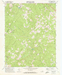
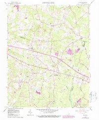
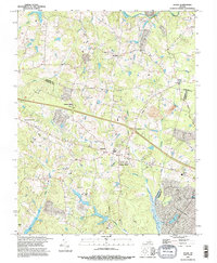
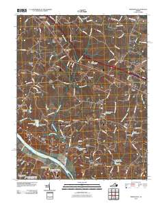
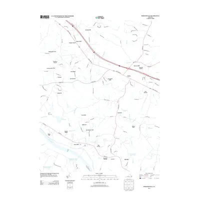
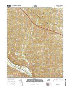
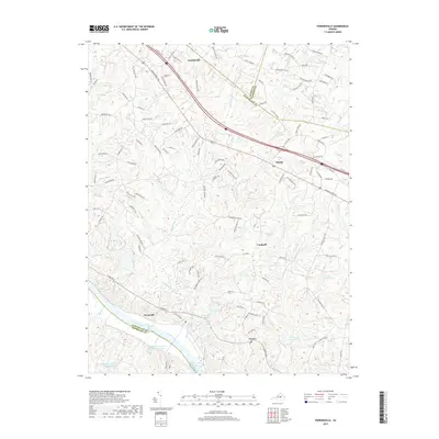
1970 Map of Caledonia
USGS Topo · Published 1972About this map
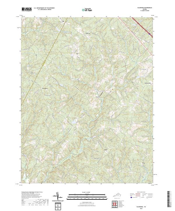
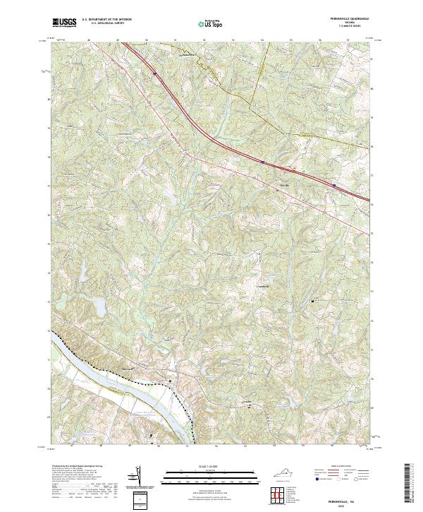
The Goochland and Fluvanna county line runs through this Piedmont landscape, marked by a network of rural crossroads and historic congregations. Small settlements like Tabscott, Caledonia, and Bula anchor the interior, connected by historic routes such as White Hall Road and Three Chopt Road. The community's social fabric is visible through its numerous country churches, including Mt Gilead Ch, Bethany Ch, and Second Union Ch, the latter situated near the Second Union Sch.
Find a feature on this map
34 named features on this map. Tap any name to fly to it.
Don’t see what you’re looking for? This feature index may not catch every label — zoom into the map to look around manually.
Map Details
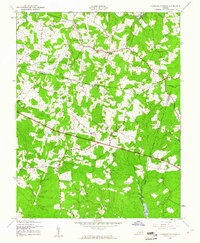
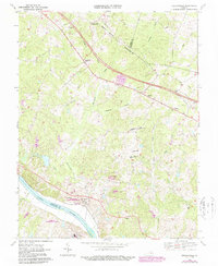
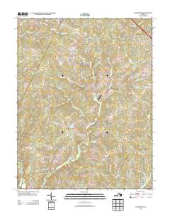
Editions of this 1970 Caledonia Map
2 editions found
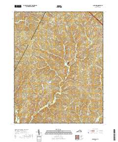
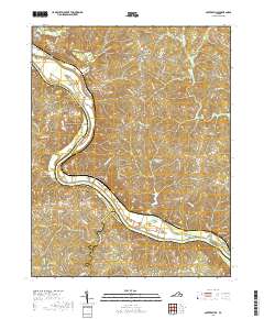
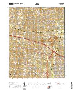
Historical Maps of Georges Landing Through Time
28 maps found
1943 Johnsons Springs
Goochland County, VA
1943 Perkinsville
Goochland County, VA
1944 Johnsons Springs
Goochland County, VA
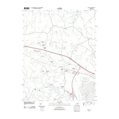
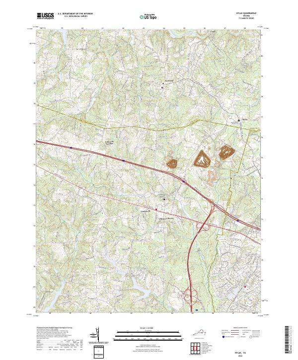
1963 Hylas
Goochland County, VA
1968 Perkinsville
Goochland County, VA
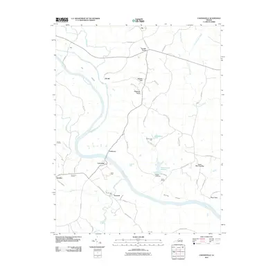
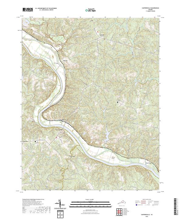
1969 Cartersville
Goochland County, VA
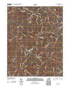
1970 Caledonia
Goochland County, VA
1994 Hylas
Goochland County, VA
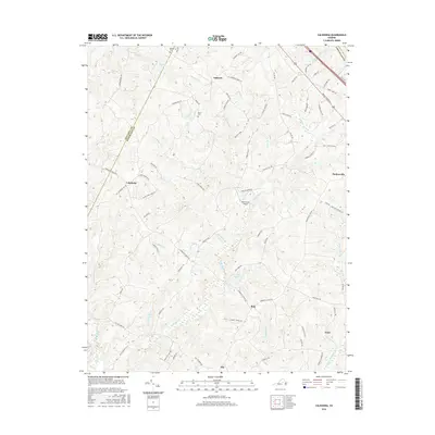
2010 Caledonia
Goochland County, VA
2010 Cartersville
Goochland County, VA
2010 Hylas
Goochland County, VA
2010 Perkinsville
Goochland County, VA
2013 Caledonia
Goochland County, VA
2013 Cartersville
Goochland County, VA
2013 Hylas
Goochland County, VA
2013 Perkinsville
Goochland County, VA
2016 Caledonia
Goochland County, VA
2016 Cartersville
Goochland County, VA
2016 Hylas
Goochland County, VA
2016 Perkinsville
Goochland County, VA
2019 Caledonia
Goochland County, VA
2019 Cartersville
Goochland County, VA
2019 Hylas
Goochland County, VA
2019 Perkinsville
Goochland County, VA
2022 Caledonia
Goochland County, VA
2022 Cartersville
Goochland County, VA
2022 Hylas
Goochland County, VA
2022 Perkinsville
Goochland County, VA