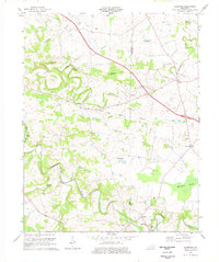
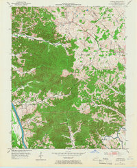
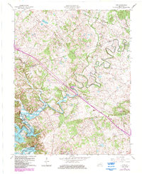
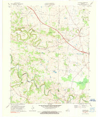
1974 Map of Caledonia
USGS Topo · Published 1977This historical map portrays the area of Caledonia in 1974, primarily covering Trigg County as well as portions of Christian County. Featuring a scale of 1:24000, this map provides a highly detailed snapshot of the terrain, roads, buildings, counties, and historical landmarks in the Caledonia region at the time. Published in 1977, it is one of 2 known editions of this map due to revisions or reprints.
Find a feature on this map
38 named features on this map. Tap any name to fly to it.
Don’t see what you’re looking for? This feature index may not catch every label — zoom into the map to look around manually.
Map Details
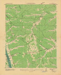
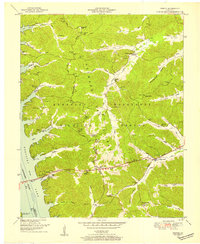
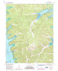
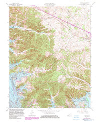
Editions of this 1974 Caledonia Map
2 editions found
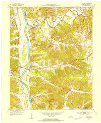
Historical Maps of Julien Through Time
19 maps found
1936 Fenton
Trigg County, KY

1950 Caledonia
Trigg County, KY
1950 Fenton
Trigg County, KY

1951 Caledonia
Trigg County, KY

1951 Johnson Hollow
Trigg County, KY

1951 Model
Trigg County, KY

1951 Roaring Spring
Trigg County, KY
1953 Canton
Trigg County, KY

1953 Cobb
Trigg County, KY
1953 Lamasco
Trigg County, KY
1957 Johnson Hollow
Trigg County, KY

1957 Model
Trigg County, KY
1957 Roaring Spring
Trigg County, KY
1967 Canton
Trigg County, KY
1967 Cobb
Trigg County, KY
1967 Fenton
Trigg County, KY
1967 Lamasco
Trigg County, KY
1967 Linton
Trigg County, KY
1974 Caledonia
Trigg County, KY