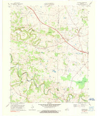
1974 Map of Caledonia
USGS Topo · Published 1981About this map
Subterranean waterways and family-named springs define the geography along the border of Trigg and Christian counties. The landscape is characterized by the Sinking Fork and various springs like Coon Cave Spring and Garnett Spring, suggesting a karst environment where water frequently disappears underground. This 1974 revision captures the rural connectivity between small agricultural hubs such as Caledonia and Peedee. The distribution of family cemeteries, including the Stewart Cem, Bacon Cem, and Nance Cem, provides a detailed record of the local homesteads and families that shaped these creek-side communities. Prominent landmarks such as Binns Mill and the Old Presbyterian Cem near Newstead mark the cultural and industrial centers of the era.
Find a feature on this map
36 named features on this map. Tap any name to fly to it.
Don’t see what you’re looking for? This feature index may not catch every label — zoom into the map to look around manually.
Map Details
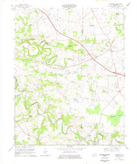
Editions of this 1974 Caledonia Map
2 editions found
Other maps of this area

1950 · Caledonia
USGS Topo · 1:24,000

1951 · Church Hill
USGS Topo · 1:24,000

1951 · Caledonia
USGS Topo · 1:24,000

1951 · Roaring Spring
USGS Topo · 1:24,000

1951 · Johnson Hollow
USGS Topo · 1:24,000

1951 · Herndon
USGS Topo · 1:24,000

1952 · Pleasant Green Hill
USGS Topo · 1:24,000

1953 · Gracey
USGS Topo · 1:24,000

1953 · Cobb
USGS Topo · 1:24,000
1953 · Cadiz
USGS Topo · 1:24,000