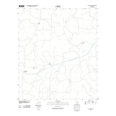
2010 Map of Calf Creek
USGS Topo · Published 2010About this map
The San Saba River meanders through this portion of Menard County, defining a landscape of low-lying draws and remote ranching outposts. Settled life centers around small, established locales like Calf Creek and the Block House Ranch, where the geography is dictated by seasonal waterways and the drainage patterns of Hog Creek and Tenmile Creek. The area’s aviation history is represented by the Smith I- Ranch Airport, while the road network, including Triplet Mill Rd and Blockhouse Rd, suggests the deep-rooted agricultural and milling heritage of the river valley.
Find a feature on this map
21 named features on this map. Tap any name to fly to it.
Don’t see what you’re looking for? This feature index may not catch every label — zoom into the map to look around manually.
Map Details
Editions of this 2010 Calf Creek Map
This is the sole edition of this map. No revisions or reprints were ever made.
Other maps of this area

1887 · Mason
USGS Topo · 1:125,000

1892 · Eden
USGS Topo · 1:125,000

1894 · Brady
USGS Topo · 1:125,000

1894 · Mason
USGS Topo · 1:125,000

1896 · Eden
USGS Topo · 1:125,000

1954 · Brownwood
USGS Topo · 1:250,000

1954 · Llano
USGS Topo · 1:250,000

1955 · Llano
USGS Topo · 1:250,000

1956 · Llano
USGS Topo · 1:250,000

1963 · Brady SW
USGS Topo · 1:24,000