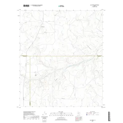
2019 Map of Calf Creek
USGS Topo · Published 2019About this map
The San Saba River meanders across this landscape where McCulloch, Menard, and Mason counties meet. This area of central Texas is characterized by a network of seasonal watercourses and drainage systems including Calf Creek, Tenmile Creek, and Hog Creek, which carve through the terrain at Wild South Hollow. The small settlement of Calf Creek is situated in the northwest, connected to the wider region by FM 1311. Local ranching infrastructure is evident through the presence of the Smith I-Ranch Airport and a series of rural routes such as Blockhouse Road and Triplet Mill Road. The convergence of these three county lines provides a unique point of reference for researchers tracing land ownership or jurisdictional boundaries in this part of the Edwards Plateau region.
Find a feature on this map
28 named features on this map. Tap any name to fly to it.
Don’t see what you’re looking for? This feature index may not catch every label — zoom into the map to look around manually.
Map Details
Editions of this 2019 Calf Creek Map
This is the sole edition of this map. No revisions or reprints were ever made.
Other maps of this area

1887 · Mason
USGS Topo · 1:125,000

1892 · Eden
USGS Topo · 1:125,000

1894 · Brady
USGS Topo · 1:125,000

1894 · Mason
USGS Topo · 1:125,000

1896 · Eden
USGS Topo · 1:125,000

1954 · Brownwood
USGS Topo · 1:250,000

1954 · Llano
USGS Topo · 1:250,000

1955 · Llano
USGS Topo · 1:250,000

1956 · Llano
USGS Topo · 1:250,000

1963 · Brady SW
USGS Topo · 1:24,000