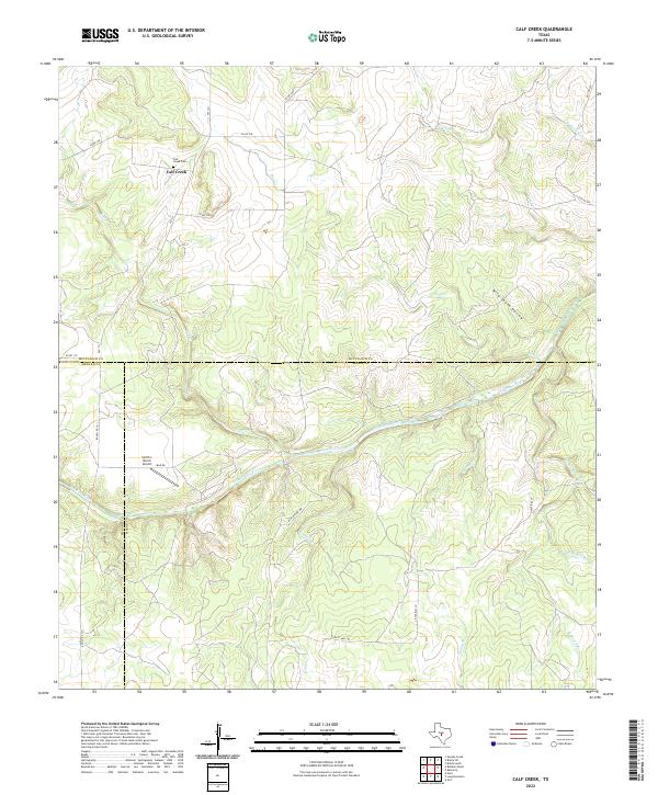
2022 Map of Calf Creek
USGS Topo · Published 2022About this map
The Calf Creek settlement and its corresponding Calf Creek Cem anchor the northern landscape of this Central Texas region, situated where the Edwards Plateau begins its descent toward the river valley. This terrain is defined by a dense network of seasonal drainages, including Hog Cr, Camp Cr, and the appropriately named Wild South Hollow, all feeding toward the primary waterway. The San Saba River meanders across the center of the map, carving a distinct corridor through the hills and marking the boundary between McCulloch, Mason, and Menard counties.
Find a feature on this map
29 named features on this map. Tap any name to fly to it.
Don’t see what you’re looking for? This feature index may not catch every label — zoom into the map to look around manually.
Map Details
Editions of this 2022 Calf Creek Map
This is the sole edition of this map. No revisions or reprints were ever made.
Other maps of this area

1887 · Mason
USGS Topo · 1:125,000

1892 · Eden
USGS Topo · 1:125,000

1894 · Brady
USGS Topo · 1:125,000

1894 · Mason
USGS Topo · 1:125,000

1896 · Eden
USGS Topo · 1:125,000

1954 · Brownwood
USGS Topo · 1:250,000

1954 · Llano
USGS Topo · 1:250,000

1955 · Llano
USGS Topo · 1:250,000

1956 · Llano
USGS Topo · 1:250,000

1963 · Brady SW
USGS Topo · 1:24,000