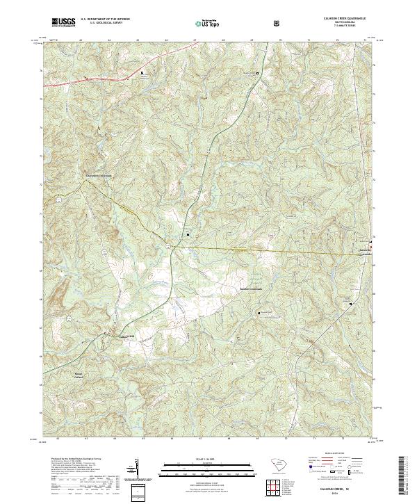
2024 Map of Calhoun Creek
USGS Topo · Published 2024About this map
Calhoun Mill stands as a focal point near the confluence of Lee Creek and the Little River in this modern topographic study of the Piedmont. The landscape is defined by its transition across the Abbeville and McCormick county line, where timberlands of the Sumter National Forest meet a network of rural crossroads like Charleston Crossroads and Belcher Crossroads. The area's deep-rooted community history is visible through numerous burial grounds and places of worship, including the Lebanon Church and its associated Graveyard, as well as the Saint Goodwill Church Graveyard further south. The drainage patterns of Sawney Creek, Calhoun Creek, and Bowie Branch illustrate a terrain carved by water, while contemporary landmarks like Forest Lawn Memory Gardens Cem provide modern reference points for local genealogists and land researchers.
Find a feature on this map
57 named features on this map. Tap any name to fly to it.
Don’t see what you’re looking for? This feature index may not catch every label — zoom into the map to look around manually.
Map Details
Editions of this 2024 Calhoun Creek Map
This is the sole edition of this map. No revisions or reprints were ever made.
Other maps of this area

1892 · Mc Cormick
USGS Topo · 1:125,000

1892 · Abbeville
USGS Topo · 1:125,000

1893 · Elberton
USGS Topo · 1:125,000

1906 · Crawfordville
USGS Topo · 1:125,000

1912 · Mc Cormick
USGS Topo · 1:125,000

1948 · Abbeville East
USGS Topo · 1:24,000

1948 · Verdery
USGS Topo · 1:24,000

1948 · Abbeville West
USGS Topo · 1:24,000

1949 · Abbeville
USGS Topo · 1:24,000

1949 · Calhoun Creek
USGS Topo · 1:24,000