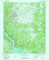
1964 Map of Calhoun Falls
USGS Topo · Published 1986About this map
The Savannah River corridor and the expanding waters of Clarks Hill Lake dominate this mid-century portrait of the South Carolina-Georgia border. The town of Calhoun Falls serves as the regional hub, defined by its position along the Seaboard railroad and its proximity to the Calhoun Falls Dam. The landscape is a network of creek drainages, including Sawney Creek and Russells Creek, which feed into the primary river system. Local genealogy and community life are anchored by several rural landmarks, such as McAllister Chapel Cem, Hester Cem, and Boyd Cem, along with Harper Chapel and Springfield Ch. The transition of the river valley is evident at Trotters Shoals and around Goat Island, showing the topography just as large-scale water management projects were reshaping the area. Portions of the Sumter National Forest appear in the southeast, preserving the wooded character of the Mount Carmel vicinity.
Find a feature on this map
37 named features on this map. Tap any name to fly to it.
Don’t see what you’re looking for? This feature index may not catch every label — zoom into the map to look around manually.
Map Details
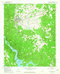
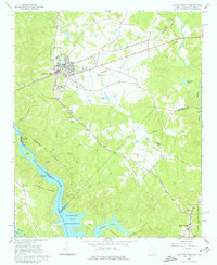
Editions of this 1964 Calhoun Falls Map
3 editions found
Other maps of this area

1892 · Mc Cormick
USGS Topo · 1:125,000

1892 · Abbeville
USGS Topo · 1:125,000

1893 · Elberton
USGS Topo · 1:125,000

1906 · Crawfordville
USGS Topo · 1:125,000

1912 · Mc Cormick
USGS Topo · 1:125,000

1948 · Abbeville West
USGS Topo · 1:24,000

1949 · Abbeville
USGS Topo · 1:24,000

1949 · Calhoun Creek
USGS Topo · 1:24,000

1953 · Athens
USGS Topo · 1:250,000

1954 · Greenville
USGS Topo · 1:250,000