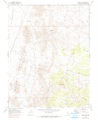
1970 Map of Caliente NW
USGS Topo · Published 1990About this map
Dry Lake (Depression) and the arid stretches of the Burnt Springs Range define this high-desert landscape in Lincoln County. The 1970 field check documents a region reliant on strategic water sources, with several vital points such as Rabbit Spring, Dana Spring, and Cliff Springs located along the eastern slopes of the range. These natural features are supplemented by infrastructure like the Aqueduct and several water tanks, including Crows Nest Tank.
Find a feature on this map
16 named features on this map. Tap any name to fly to it.
Don’t see what you’re looking for? This feature index may not catch every label — zoom into the map to look around manually.
Map Details
Editions of this 1970 Caliente NW Map
2 editions found
Other maps of this area

1885 · Pioche
USGS Topo · 1:250,000

1886 · Pioche
USGS Topo · 1:250,000

1916 · Highland
USGS Topo · 1:62,500

1918 · Highland
USGS Topo · 1:62,500

1954 · Caliente
USGS Topo · 1:250,000

1959 · Caliente
USGS Topo · 1:250,000
1970 · The Bluffs
USGS Topo · 1:24,000
1970 · Bennett Pass
USGS Topo · 1:24,000
1970 · Deadman Spring SE
USGS Topo · 1:24,000
1970 · Pahroc Spring SE
USGS Topo · 1:24,000