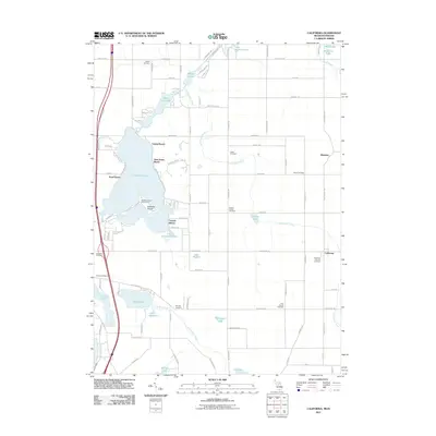
2011 Map of California
USGS Topo · Published 2011About this map
Coldwater Lake and the Coldwater River dominate this landscape on the Michigan-Indiana border, where a network of recreational and residential communities lines the eastern shore. Named beach settlements like Crystal Beach, Sans Souci Beach, and Pearl Beach reflect the area's long-standing status as a regional destination. Near the center of the lake, Iyopawa Island is home to the Iyopawa Island Golf Course, connected by a series of local roads and channels.
Find a feature on this map
99 named features on this map. Tap any name to fly to it.
Don’t see what you’re looking for? This feature index may not catch every label — zoom into the map to look around manually.
Map Details
Editions of this 2011 California Map
This is the sole edition of this map. No revisions or reprints were ever made.
Other maps of this area

1939 · Angola East
USGS Topo · 1:24,000

1939 · Clear Lake
USGS Topo · 1:24,000

1940 · Clear Lake
USGS Topo · 1:24,000

1941 · Angola West
USGS Topo · 1:24,000

1942 · Angola West
USGS Topo · 1:24,000

1947 · Angola East
USGS Topo · 1:24,000

1953 · Fort Wayne
USGS Topo · 1:250,000

1956 · Fort Wayne
USGS Topo · 1:250,000

1960 · Coldwater West
USGS Topo · 1:24,000

1960 · Coldwater East
USGS Topo · 1:24,000