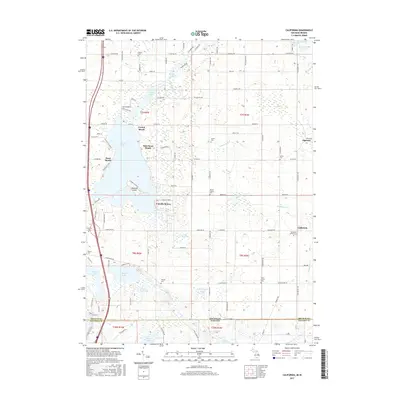
2017 Map of California
USGS Topo · Published 2017About this map
Coldwater Lake dominates the western landscape of this borderland region, where the lakefront is defined by a series of clustered recreational and residential settlements including Crystal Beach, Sans Souci Beach, and Pearl Beach. The transition from the aquatic environment of Iyopawa Island to the agricultural interior of California and Algansee highlights the dual character of Branch County. This interior is dotted with significant genealogical sites such as the Amish Cem, Lester Cem, and the California Corners Cem. South of Lake Bricker and Huyck Lake, the terrain crosses the state line into Indiana, following the drainage of the Little Fawn River and Withington Lake. The density of family-named burial grounds like the Brown Family Cem and Munday Cem suggests deep-rooted local lineages in this rural community.
Find a feature on this map
107 named features on this map. Tap any name to fly to it.
Don’t see what you’re looking for? This feature index may not catch every label — zoom into the map to look around manually.
Map Details
Editions of this 2017 California Map
This is the sole edition of this map. No revisions or reprints were ever made.
Other maps of this area

1939 · Angola East
USGS Topo · 1:24,000

1939 · Clear Lake
USGS Topo · 1:24,000

1940 · Clear Lake
USGS Topo · 1:24,000

1941 · Angola West
USGS Topo · 1:24,000

1942 · Angola West
USGS Topo · 1:24,000

1947 · Angola East
USGS Topo · 1:24,000

1953 · Fort Wayne
USGS Topo · 1:250,000

1956 · Fort Wayne
USGS Topo · 1:250,000

1960 · Coldwater West
USGS Topo · 1:24,000

1960 · Coldwater East
USGS Topo · 1:24,000