2023 Map of California
USGS Topo · Published 2023About this map
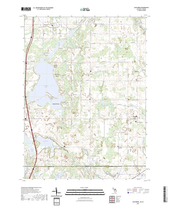
The borderlands of Branch County, Michigan, and Steuben County, Indiana, are defined by a dense network of glacial lakes and family-oriented cemeteries in this recent survey. Communities like California and Algansee anchor the landscape, while residential clusters such as Crystal Beach, Sans Souci Beach, and Canada Shores ring the shoreline of Coldwater Lake. The geography is characterized by intricate water bodies including Little Coldwater Lake, Browns Lake, and the winding Tallahassee Creek, which flows through the northern reaches of the quadrangle.
Find a feature on this map
104 named features on this map. Tap any name to fly to it.
Don’t see what you’re looking for? This feature index may not catch every label — zoom into the map to look around manually.
Map Details
Editions of this 2023 California Map
This is the sole edition of this map. No revisions or reprints were ever made.
Historical Maps of California Through Time
12 maps found
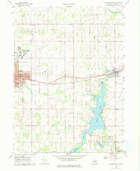
1960 Bronson North
Branch County, MI
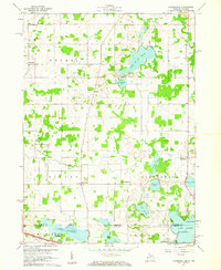
1960 Bronson South
Branch County, MI
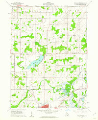
1960 California
Branch County, MI
1960 Coldwater East
Branch County, MI

1960 Coldwater West
Branch County, MI
1960 Kinderhook
Branch County, MI
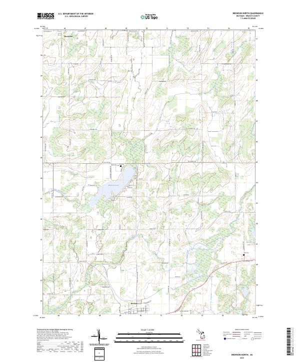
2023 Bronson North
Branch County, MI
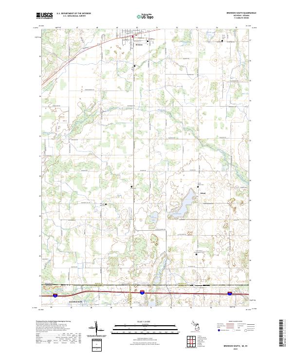
2023 Bronson South
Branch County, MI
2023 California
Branch County, MI
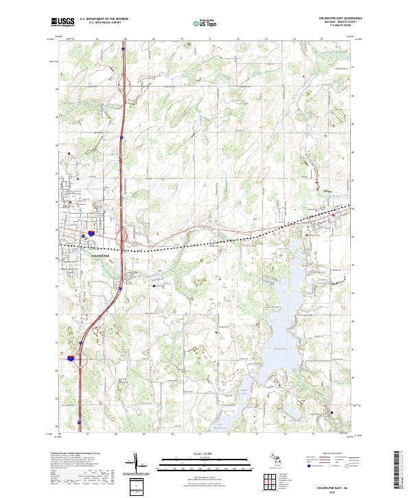
2023 Coldwater East
Branch County, MI
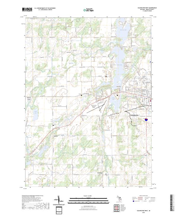
2023 Coldwater West
Branch County, MI
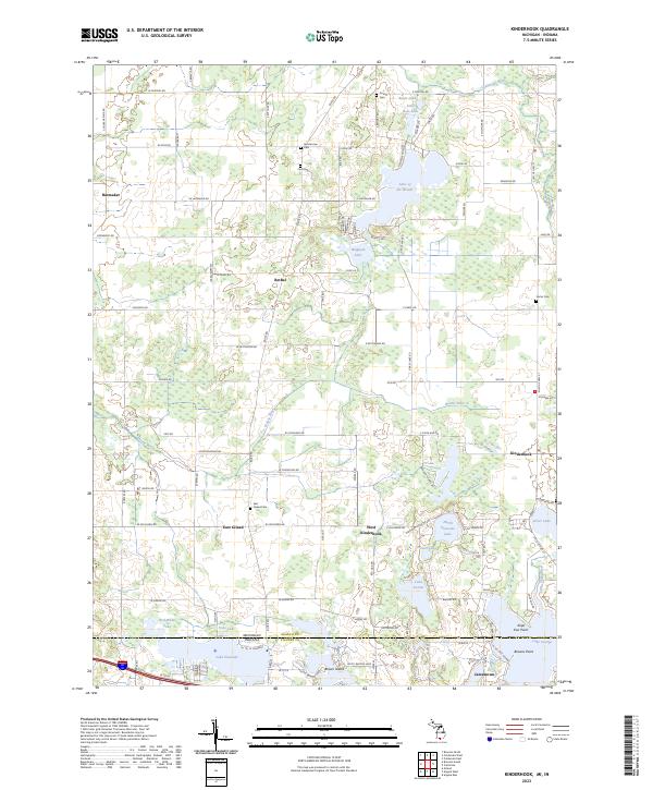
2023 Kinderhook
Branch County, MI
Featured Locations
- California Township, MI
- Canada Shores, Kinderhook Township
- Algansee, Algansee Township
- California, California Township
- Crystal Beach, Ovid Township