
1972 Map of California Creek
USGS Topo · Published 1975About this map
Amistad Reservoir dominates this high-desert landscape in Val Verde County, its sprawling blue fingers reaching deep into the winding canyons carved by Evans Creek and California Creek. Surveyed just a few years after the completion of the Amistad Dam, the map shows the reservoir at its operating level of 1117 feet, defining the modern shoreline of the Amistad National Recreation Area. The infrastructure of the West Texas frontier is visible in the transit lines of the Southern Pacific railroad and a nearby Old Railroad Grade, which trace the higher ground above the newly formed lake. A remote Landing Strip and a Gaging Sta near the creek confluence underscore the transition of this arid terrain from a rugged ranching corridor to a federally managed water and recreation resource in the early 1970s.
Find a feature on this map
8 named features on this map. Tap any name to fly to it.
Don’t see what you’re looking for? This feature index may not catch every label — zoom into the map to look around manually.
Map Details
Editions of this 1972 California Creek Map
This is the sole edition of this map. No revisions or reprints were ever made.
Other maps of this area

1941 · Feely
USGS Topo · 1:62,500

1943 · Devils River
USGS Topo · 1:62,500

1943 · Del Rio
USGS Topo · 1:62,500

1944 · Devils River
USGS Topo · 1:62,500

1944 · Devils Lake
USGS Topo · 1:62,500

1958 · Del Rio
USGS Topo · 1:250,000

1964 · Del Rio
USGS Topo · 1:250,000

1972 · Amistad Dam
USGS Topo · 1:24,000
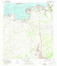
1972 · Del Rio NW
USGS Topo · 1:24,000
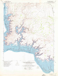
1972 · Box Canyon
USGS Topo · 1:24,000