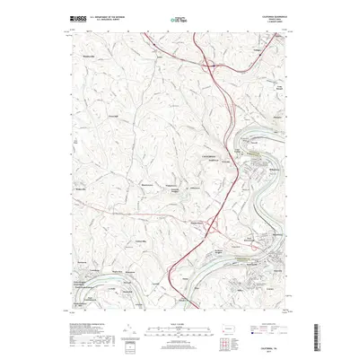
2019 Map of California
USGS Topo · Published 2019About this map
The Monongahela River carves a deep path through this industrial and educational landscape, separating Washington and Fayette Counties. On the western bank, the California community is anchored by the California University of Pennsylvania, while the river's edge is lined with historic borough centers like Coal Center, Newell, and West Brownsville. The presence of numerous small settlements such as Lover, Twilight, and Daisytown reveals a dense, decentralized housing pattern characteristic of Pennsylvania's coal and manufacturing heritage. High above the river, the National Pike traverses the southern section of the map, passing Malden Place and Centerville. Local history is preserved in traditional burial grounds like the Christ Episcopal Graveyard and Saint Marys Roman Catholic Cem, while the rugged relief is defined by deep cuts such as Oregon Hollow and Granville Hollow.
Find a feature on this map
82 named features on this map. Tap any name to fly to it.
Don’t see what you’re looking for? This feature index may not catch every label — zoom into the map to look around manually.
Map Details
Editions of this 2019 California Map
This is the sole edition of this map. No revisions or reprints were ever made.
Other maps of this area

1900 · Masontown
USGS Topo · 1:62,500

1901 · Amity
USGS Topo · 1:62,500

1901 · Waynesburg
USGS Topo · 1:62,500

1902 · Brownsville
USGS Topo · 1:62,500

1903 · Masontown
USGS Topo · 1:62,500

1904 · Amity
USGS Topo · 1:62,500

1904 · Waynesburg
USGS Topo · 1:62,500

1906 · Brownsville
USGS Topo · 1:62,500

1931 · Brownsville
USGS Topo · 1:62,500

1931 · Masontown
USGS Topo · 1:62,500