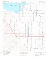
1956 Map of Calipatria SW
USGS Topo · Published 1966About this map
The Salton Sea National Wildlife Refuge dominates the northern landscape of this mid-1950s survey, marking a significant intersection of desert reclamation and natural preservation. At this time, the Salton Sea was recorded at an elevation of 235 feet below sea level, surrounded by an intricate engineering network of drains and laterals essential for Imperial Valley agriculture. The community of Westmorland stands as the primary hub of activity in the southeast, while the expansive Vail Ranch occupies the northeastern reaches. This map illustrates the vital role of water management in the region, tracing the path of the New River and substantial infrastructure like the Vail Canal and various Trifolium Extension segments. Local features such as the Gaging Sta and a Gravel Pit provide more granular details for those researching the industrial and hydrological development of the Imperial Valley during the post-war era.
Find a feature on this map
48 named features on this map. Tap any name to fly to it.
Don’t see what you’re looking for? This feature index may not catch every label — zoom into the map to look around manually.
Map Details
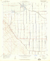
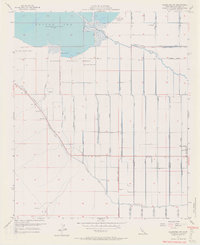
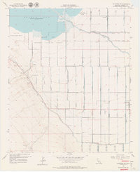
Editions of this 1956 Calipatria SW Map
4 editions found
Other maps of this area

1915 · El Centro
USGS Topo · 1:125,000

1940 · Brawley
USGS Topo · 1:62,500

1940 · Kane Spring
USGS Topo · 1:62,500

1940 · Plaster City
USGS Topo · 1:62,500

1942 · El Centro
USGS Topo · 1:250,000

1943 · Brawley
USGS Topo · 1:62,500

1944 · Plaster City
USGS Topo · 1:62,500

1944 · Kane Spring
USGS Topo · 1:62,500

1944 · Calipatria
USGS Topo · 1:62,500

1954 · El Centro
USGS Topo · 1:250,000