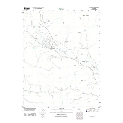
2012 Map of Calistoga
USGS Topo · Published 2012About this map
The Napa River valley at the foot of Diamond Mountain defines the character of this region, which remains a premier center for viticulture. The city of Calistoga serves as the primary hub, surrounded by a dense network of specialized landmarks including the Chateau Montelena Winery and Sterling Vineyards. The map reveals the area's geological and pioneer history, featuring the Old Faithful Geyser of California and early settlement markers such as the Old Pioneer Cem and Bale Mill. Further south, the landscape transitions into the hills near Coyote Peak, where wineries like Robert Keenan Winery and Smith-Madrone Vineyards occupy the higher elevations. This survey provides a precise accounting of the estates and infrastructure that support the valley's wine industry, from the Hanns Kornell Champagne Cellars to the winding course of the Silverado Trl.
Find a feature on this map
99 named features on this map. Tap any name to fly to it.
Don’t see what you’re looking for? This feature index may not catch every label — zoom into the map to look around manually.
Map Details
Editions of this 2012 Calistoga Map
This is the sole edition of this map. No revisions or reprints were ever made.
Other maps of this area

1902 · Napa
USGS Topo · 1:125,000

1916 · Santa Rosa
USGS Topo · 1:62,500

1927 · Calistoga
USGS Topo · 1:62,500

1942 · Sonoma
USGS Topo · 1:62,500

1942 · St. Helena
USGS Topo · 1:62,500

1943 · Calistoga
USGS Topo · 1:62,500

1944 · Santa Rosa
USGS Topo · 1:62,500

1945 · Calistoga
USGS Topo · 1:62,500

1945 · St. Helena
USGS Topo · 1:62,500

1947 · Santa Rosa
USGS Topo · 1:250,000