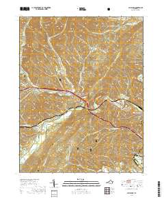
2019 Map of Callaghan
USGS Topo · Published 2019About this map
Dunlap Creek winds through the heart of this Alleghany County landscape, carving a valley that has long served as a primary transportation corridor through the Appalachian ridges. The settlement at Callaghan sits at the junction of these historical routes, where the Midland Trl follows the water's path toward the western gap. This 2019 survey documents the enduring physical landmarks of the region, including the notable Humpback Covered Bridge and the nearby Mud Tunnel, reflecting the engineering required to navigate this terrain.
Find a feature on this map
63 named features on this map. Tap any name to fly to it.
Don’t see what you’re looking for? This feature index may not catch every label — zoom into the map to look around manually.
Map Details
Editions of this 2019 Callaghan Map
This is the sole edition of this map. No revisions or reprints were ever made.
Other maps of this area

1887 · Lewisburg
USGS Topo · 1:125,000

1891 · Lewisburg
USGS Topo · 1:125,000

1894 · Natural Bridge
USGS Topo · 1:125,000

1913 · Eagle Rock
USGS Topo · 1:48,000

1915 · Eagle Rock
USGS Topo · 1:62,500

1921 · Callaghan
USGS Topo · 1:48,000

1923 · Callaghan
USGS Topo · 1:62,500

1929 · Falling Spring
USGS Topo · 1:24,000

1932 · Falling Spring
USGS Topo · 1:31,680

1945 · Clifton Forge
USGS Topo · 1:62,500