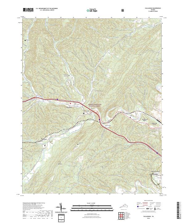
2022 Map of Callaghan
USGS Topo · Published 2022About this map
The George Washington National Forest blankets much of this terrain, where the ridge-and-valley landscape of the Appalachian Highlands dictates the layout of mountain settlements and transportation routes. In the valley of Ogle Creek, the village of Callaghan serves as a central point along the Midland Trl, while smaller communities like Moss Run and Hoke are found along the winding creek beds. This map is particularly valuable for genealogical research, documenting numerous family and community burial grounds including the Arritt Family Cem, Wilson Cem, and the Helmintoller Cem.
Find a feature on this map
70 named features on this map. Tap any name to fly to it.
Don’t see what you’re looking for? This feature index may not catch every label — zoom into the map to look around manually.
Map Details
Editions of this 2022 Callaghan Map
This is the sole edition of this map. No revisions or reprints were ever made.
Other maps of this area

1887 · Lewisburg
USGS Topo · 1:125,000

1891 · Lewisburg
USGS Topo · 1:125,000

1894 · Natural Bridge
USGS Topo · 1:125,000

1913 · Eagle Rock
USGS Topo · 1:48,000

1915 · Eagle Rock
USGS Topo · 1:62,500

1921 · Callaghan
USGS Topo · 1:48,000

1923 · Callaghan
USGS Topo · 1:62,500

1929 · Falling Spring
USGS Topo · 1:24,000

1932 · Falling Spring
USGS Topo · 1:31,680

1945 · Clifton Forge
USGS Topo · 1:62,500