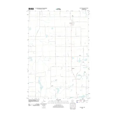
2010 Map of Callaway
USGS Topo · Published 2010About this map
Callaway and the smaller settlement of Westbury occupy a landscape defined by an intricate network of glacial lakes and wetlands in western Minnesota. This survey reveals a transition from the agricultural grid of the prairie into a more water-heavy terrain to the south and east. Local infrastructure includes significant water management features such as Barrett Lake Dam and Ted Kath Dam, which influence the hydrology near Pearson Lake and Cravath Lake.
Find a feature on this map
48 named features on this map. Tap any name to fly to it.
Don’t see what you’re looking for? This feature index may not catch every label — zoom into the map to look around manually.
Map Details
Editions of this 2010 Callaway Map
This is the sole edition of this map. No revisions or reprints were ever made.
Other maps of this area
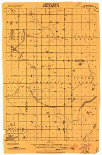
1918 · Flom
USGS Topo · 1:62,500

1952 · Grand Forks
USGS Topo · 1:250,000

1953 · Fargo
USGS Topo · 1:250,000
1953 · Brainerd
USGS Topo · 1:250,000

1954 · Bemidji
USGS Topo · 1:250,000

1956 · Fargo
USGS Topo · 1:250,000

1956 · Grand Forks
USGS Topo · 1:250,000
1957 · Brainerd
USGS Topo · 1:250,000

1957 · Bemidji
USGS Topo · 1:250,000

1958 · Bemidji
USGS Topo · 1:250,000