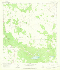
1963 Map of Callo Padrones
USGS Topo · Published 1965About this map
Large cattle pastures and oil extraction efforts define the landscape along the Brooks and Hidalgo County line in the early 1960s. The map illustrates a transitional ranching economy where traditional grazing lands like Mineral Pasture, Maguelles Pasture, and Quit Eria Pasture share space with the burgeoning Santa Fe Oil Field and South Santa Fe Oil Field. This survey provides a precise look at the critical water infrastructure necessary for survival in this South Texas environment, documenting numerous named windmills and artesian features such as Chorro Well and Viboras Well. The Huisaches Alton Ranch stands as the primary settlement hub, while the natural hydrology is marked by the eponymous Callo Padrones and Laguna del Toro Prieto. The presence of several Quarries and scattered Drill Holes further underscores the industrial activity of the era.
Find a feature on this map
37 named features on this map. Tap any name to fly to it.
Don’t see what you’re looking for? This feature index may not catch every label — zoom into the map to look around manually.
Map Details
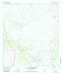
Editions of this 1963 Callo Padrones Map
2 editions found
Other maps of this area

1922 · La Sal Vieja
USGS Topo · 1:62,500

1923 · Armstrong
USGS Topo · 1:62,500

1939 · Linn
USGS Topo · 1:62,500

1949 · Mc Allen
USGS Topo · 1:250,000

1953 · Brownsville
USGS Topo · 1:250,000

1954 · McAllen
USGS Topo · 1:250,000

1956 · Pita Camp
USGS Topo · 1:24,000

1956 · Julian
USGS Topo · 1:24,000

1956 · Andrea Ranch
USGS Topo · 1:24,000

1956 · La Sal Vieja
USGS Topo · 1:62,500