
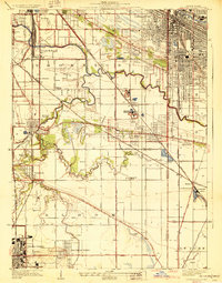
1929 Map of Calumet City
USGS Topo · Published 1929About this map
The Little Calumet River and its meandering tributary, Thorn Creek, dominate this South Side landscape during the late 1920s, a period defined by the convergence of heavy rail and emerging automotive thoroughfares. Industry and local commerce are anchored by several locations marked Brickyard, particularly near Lansing and Bernice, signaling the importance of clay extraction in the regional economy. The map reveals an extensive network of cemeteries that served the growing metropolitan area, including Holy Cross Cemetery and Mt Forest Cemetery.
Find a feature on this map
57 named features on this map. Tap any name to fly to it.
Don’t see what you’re looking for? This feature index may not catch every label — zoom into the map to look around manually.
Map Details
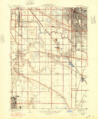
Editions of this 1929 Calumet City Map
3 editions found
Other maps of this area

1892 · Calumet
USGS Topo · 1:62,500

1893 · Calumet
USGS Topo · 1:62,500

1900 · Toleston
USGS Topo · 1:62,500

1900 · Calumet
USGS Topo · 1:62,500

1901 · Calumet
USGS Topo · 1:62,500

1929 · Calumet Lake
USGS Topo · 1:24,000
1929 · Blue Island
USGS Topo · 1:24,000

1929 · Harvey
USGS Topo · 1:24,000

1929 · Dyer
USGS Topo · 1:24,000

1930 · Dyer
USGS Topo · 1:24,000