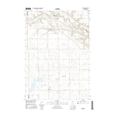
2016 Map of Cambria
USGS Topo · Published 2016About this map
Cambria and Butternut anchor this rural landscape where the Minnesota River carves a deep valley across the northern boundary. The terrain is defined by its complex hydrology, featuring a transition from the winding river valley to a high prairie dotted with numerous glacial lakes and depressions. Significant water features include the oxbow-rich Minnesota River, Harris Lake, and the meandering Little Cottonwood River. The influence of agricultural engineering is evident through managed waterways such as Judicial Ditch Number Thirty-six and Judicial Ditch Number Forty-eight. Local genealogy is well-served by the presence of Cambria Cem and Our Saviors Cem. The landscape also reveals environmental shifts over time, noted by features like the Solberg Lakebed, suggesting a region where historical wetlands have been adapted for agricultural use while maintaining a dense network of original water bodies like Armstrong Lake and Lieberg Lake.
Find a feature on this map
65 named features on this map. Tap any name to fly to it.
Don’t see what you’re looking for? This feature index may not catch every label — zoom into the map to look around manually.
Map Details
Editions of this 2016 Cambria Map
This is the sole edition of this map. No revisions or reprints were ever made.
Other maps of this area

1951 · Mankato West
USGS Topo · 1:62,500

1953 · New Ulm
USGS Topo · 1:250,000

1957 · New Ulm
USGS Topo · 1:250,000

1958 · New Ulm
USGS Topo · 1:250,000

1964 · New Ulm
USGS Topo · 1:24,000

1964 · Courtland
USGS Topo · 1:24,000

1965 · Madelia
USGS Topo · 1:24,000

1965 · Hanska
USGS Topo · 1:24,000

1965 · Perth
USGS Topo · 1:24,000

1965 · Cambria
USGS Topo · 1:24,000