Loading...
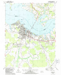
Loading map...1943 Map of Cambridge
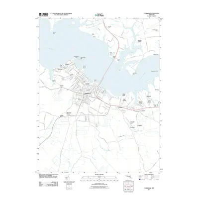
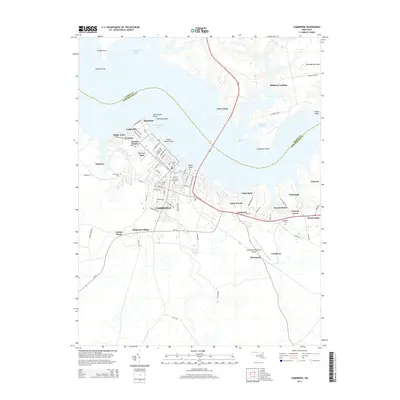
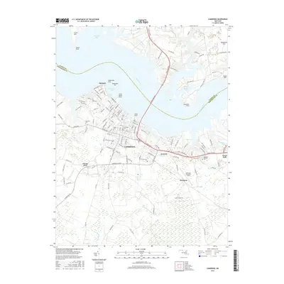
USGS Topo · Published 1976About this map
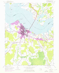
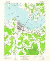
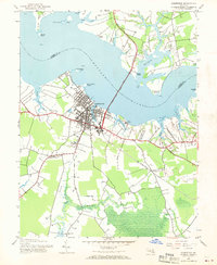
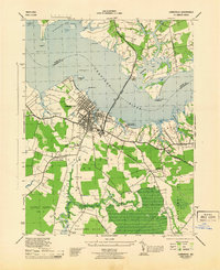
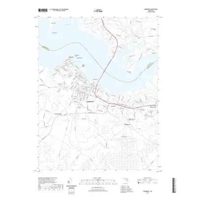
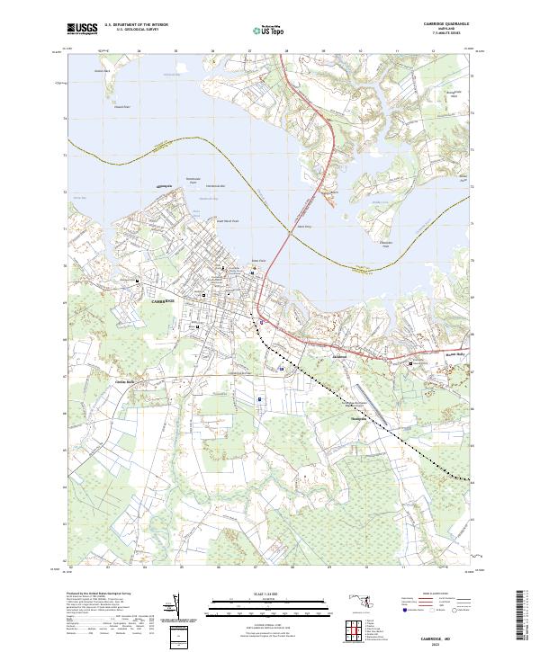
The city of Cambridge sits as a vital maritime and rail hub on the southern bank of the Choptank River, shown here at a moment of transition where 1943 topography meets 1970s urban expansion. The landscape is defined by the deep indentations of Jenkins Creek and Shoal Creek, with the massive Choptank River Bridge connecting Dorchester to Talbot County.
Find a feature on this map
38 named features on this map. Tap any name to fly to it.
Don’t see what you’re looking for? This feature index may not catch every label — zoom into the map to look around manually.
Map Details
Date Portrayed1943
Date Published1976
PublisherU.S. Geological Survey
Map TypeTopographic
Scale1:24,000
Physical Dimensions21.9 x 26.8 inches
Editions of this 1943 Cambridge Map
3 editions found
Historical Maps of Cambridge Through Time
8 maps found
Featured Locations
Source Details
SourceU.S. Geological Survey
CopyrightPublic Domain