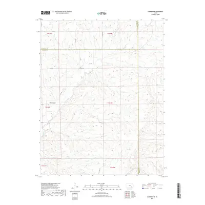
2018 Map of Cambridge NE
USGS Topo · Published 2018About this map
Grouse Creek defines the drainage of this prairie landscape in southeastern Kansas, where three counties—Butler, Cowley, and Elk—converge. The settlement of Glen Crouse and the smaller Glen locale represent the sparse residential footprint of this region in the early 21st century. High points are accessed by a grid of rural routes including Flinthills Rd and SE Summit Rd, while the local cemetery, Grouse Cem, serves as a primary point of interest for genealogical research in this part of Cowley County. The terrain is marked by numerous seasonal and perennial tributaries such as Ferguson Cr, Riley Cr, and Gardners Br, which illustrate the complex drainage patterns of the Flint Hills uplands.
Find a feature on this map
35 named features on this map. Tap any name to fly to it.
Don’t see what you’re looking for? This feature index may not catch every label — zoom into the map to look around manually.
Map Details
Editions of this 2018 Cambridge NE Map
This is the sole edition of this map. No revisions or reprints were ever made.
Other maps of this area

1885 · Eureka
USGS Topo · 1:125,000

1885 · Sedan
USGS Topo · 1:125,000

1888 · Eureka
USGS Topo · 1:125,000

1888 · Eldorado
USGS Topo · 1:125,000

1889 · Burden
USGS Topo · 1:125,000

1889 · Sedan
USGS Topo · 1:125,000

1894 · Eureka
USGS Topo · 1:125,000

1955 · Wichita
USGS Topo · 1:250,000

1958 · Wichita
USGS Topo · 1:250,000

1962 · Grand Summit
USGS Topo · 1:24,000