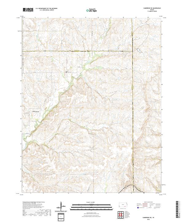
2022 Map of Cambridge NE
USGS Topo · Published 2022About this map
The confluence of Butler, Cowley, and Elk counties defines this rural landscape, where the headwaters of the Grouse Creek drainage system carve a series of draws and ridges. Settlement is sparse and localized around the small communities of Glen Crouse and Glen. The geographic center of local history on this sheet is the Grouse Cem, situated near the intersection of 321st Rd and SE Butts Rd, which serves as a primary landmark for genealogists tracing family ties to this corner of the Flint Hills. The drainage pattern is intricate, with numerous named tributaries including Franklin Cr, Riley Cr, and Ferguson Cr feeding into the larger Grouse Creek valley. The road network remains largely a grid of unpaved section-line routes like SE 230th St and Flinthills Rd, reflecting the enduring agricultural and ranching character of the region.
Find a feature on this map
35 named features on this map. Tap any name to fly to it.
Don’t see what you’re looking for? This feature index may not catch every label — zoom into the map to look around manually.
Map Details
Editions of this 2022 Cambridge NE Map
This is the sole edition of this map. No revisions or reprints were ever made.
Other maps of this area

1885 · Eureka
USGS Topo · 1:125,000

1885 · Sedan
USGS Topo · 1:125,000

1888 · Eureka
USGS Topo · 1:125,000

1888 · Eldorado
USGS Topo · 1:125,000

1889 · Burden
USGS Topo · 1:125,000

1889 · Sedan
USGS Topo · 1:125,000

1894 · Eureka
USGS Topo · 1:125,000

1955 · Wichita
USGS Topo · 1:250,000

1958 · Wichita
USGS Topo · 1:250,000

1962 · Grand Summit
USGS Topo · 1:24,000