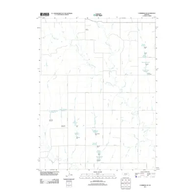
2011 Map of Cambridge NE
USGS Topo · Published 2011About this map
Stowe Cemetery sits on a high point in the northern reach of this Gosper County landscape, overlooking a drainage system dominated by Muddy Creek and West Muddy Creek. The terrain is characterized by an extensive network of small-scale water management, evidenced by numerous named reservoirs and their associated dams. These features, such as Monter Reservoir, Scott Reservoir, and Bergstresser Reservoir, often carry the names of local families, providing a clear record of land use and property boundaries in this rural Nebraska precinct during the early 21st century.
Find a feature on this map
43 named features on this map. Tap any name to fly to it.
Don’t see what you’re looking for? This feature index may not catch every label — zoom into the map to look around manually.
Map Details
Editions of this 2011 Cambridge NE Map
This is the sole edition of this map. No revisions or reprints were ever made.
Other maps of this area

1896 · Lexington
USGS Topo · 1:125,000

1896 · Arapahoe
USGS Topo · 1:125,000

1898 · Arapahoe
USGS Topo · 1:125,000

1899 · Lexington
USGS Topo · 1:125,000

1902 · Gothenburg
USGS Topo · 1:125,000

1954 · McCook
USGS Topo · 1:250,000

1955 · Grand Island
USGS Topo · 1:250,000

1956 · Cambridge
USGS Topo · 1:24,000

1956 · Medicine Creek Dam
USGS Topo · 1:24,000

1957 · McCook
USGS Topo · 1:250,000