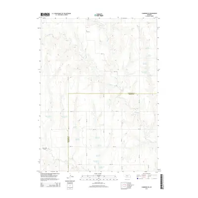
2014 Map of Cambridge NE
USGS Topo · Published 2014About this map
Muddy Cr and W Muddy Cr carve a complex system of drainage across the border of Frontier and Gosper counties. This rural landscape is defined by its water management, evidenced by dozens of private and named reservoirs that dot the canyon-riven terrain. The distribution of these water bodies, such as Monter Reservoir and Bergstresser Reservoir, suggests a highly organized approach to irrigation and ranching in this part of Nebraska.
Find a feature on this map
31 named features on this map. Tap any name to fly to it.
Don’t see what you’re looking for? This feature index may not catch every label — zoom into the map to look around manually.
Map Details
Editions of this 2014 Cambridge NE Map
This is the sole edition of this map. No revisions or reprints were ever made.
Other maps of this area

1896 · Lexington
USGS Topo · 1:125,000

1896 · Arapahoe
USGS Topo · 1:125,000

1898 · Arapahoe
USGS Topo · 1:125,000

1899 · Lexington
USGS Topo · 1:125,000

1902 · Gothenburg
USGS Topo · 1:125,000

1954 · McCook
USGS Topo · 1:250,000

1955 · Grand Island
USGS Topo · 1:250,000

1956 · Cambridge
USGS Topo · 1:24,000

1956 · Medicine Creek Dam
USGS Topo · 1:24,000

1957 · McCook
USGS Topo · 1:250,000