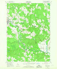
1955 Map of Camden East
USGS Topo · Published 1967About this map
Camden sits at the western edge of this mid-century landscape, where the Mad River meets the winding West Branch Fish Cr. The terrain is defined by a heavy industrial and agricultural transition, evidenced by the extensive State Reforestation Area covering much of the northern and central highlands. Transport patterns are dominated by the New York Central Railroad, which parallels the river valley and links small stations and communities such as McConnellsville and Blossvale.
Find a feature on this map
63 named features on this map. Tap any name to fly to it.
Don’t see what you’re looking for? This feature index may not catch every label — zoom into the map to look around manually.
Map Details
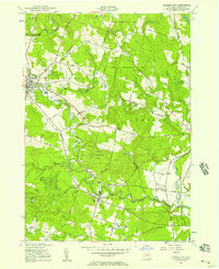
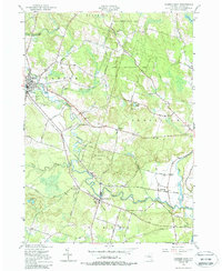
Editions of this 1955 Camden East Map
Other maps of this area

1895 · Chittenango
USGS Topo · 1:62,500

1895 · Oneida
USGS Topo · 1:62,500

1898 · Oneida
USGS Topo · 1:62,500

1898 · Chittenango
USGS Topo · 1:62,500

1902 · Chittenango
USGS Topo · 1:62,500

1902 · Oneida
USGS Topo · 1:62,500

1905 · Taberg
USGS Topo · 1:62,500

1906 · Kasoag
USGS Topo · 1:62,500

1939 · Oneida
USGS Topo · 1:62,500

1941 · Jewell
USGS Topo · 1:24,000