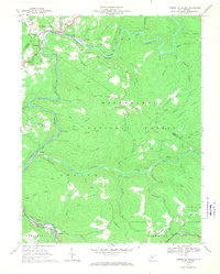
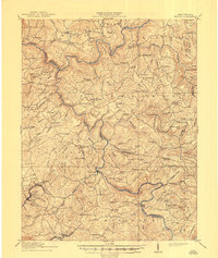
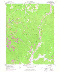
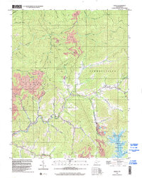
1966 Map of Camden on Gauley
USGS Topo · Published 1970This historical map portrays the area of Camden on Gauley in 1966, primarily covering Nicholas County as well as portions of Webster County. Featuring a scale of 1:24000, this map provides a highly detailed snapshot of the terrain, roads, buildings, counties, and historical landmarks in the Camden on Gauley region at the time. Published in 1970, it is one of 3 known editions of this map due to revisions or reprints.
Find a feature on this map
64 named features on this map. Tap any name to fly to it.
Don’t see what you’re looking for? This feature index may not catch every label — zoom into the map to look around manually.
Map Details
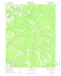
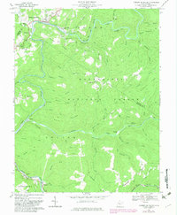
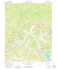
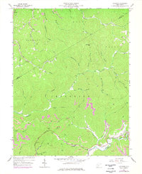
Editions of this 1966 Camden on Gauley Map
3 editions found
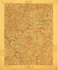
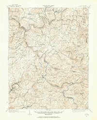
Historical Maps of Allingdale Through Time
14 maps found

1889 Nicholas
Nicholas County, WV

1891 Nicholas
Nicholas County, WV
1901 Nicholas
Nicholas County, WV
1914 Winona
Nicholas County, WV
1916 Winona
Nicholas County, WV
1966 Camden On Gauley
Nicholas County, WV
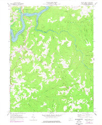
1967 Gilboa
Nicholas County, WV
1967 Lockwood
Nicholas County, WV
1967 Widen
Nicholas County, WV
1969 Mount Nebo
Nicholas County, WV
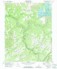
1969 Summersville Dam
Nicholas County, WV
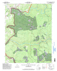
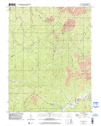
1995 Camden on Gauley
Nicholas County, WV
1996 Gilboa
Nicholas County, WV
1996 Lockwood
Nicholas County, WV