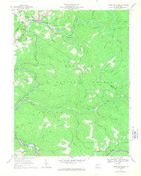
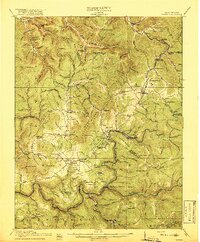
1966 Map of Camden on Gauley
USGS Topo · Published 1970About this map
The Gauley River and the Baltimore and Ohio Railroad anchor this 1966 view of the central West Virginia mountain country, where the water and rail lines dictate the placement of industry and small communities. Following the river's winding path, settlements like Camden on Gauley and Gauley Mills serve as local centers near the junction with Strouds Creek. Further south along the Cherry River, the map records industrial activity including a Strip Mine Tipple and various mine sites near Holcomb.
Find a feature on this map
64 named features on this map. Tap any name to fly to it.
Don’t see what you’re looking for? This feature index may not catch every label — zoom into the map to look around manually.
Map Details
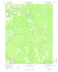
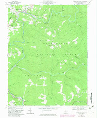
Editions of this 1966 Camden on Gauley Map
3 editions found
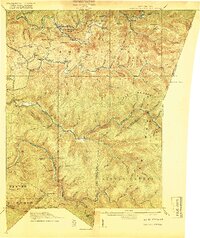
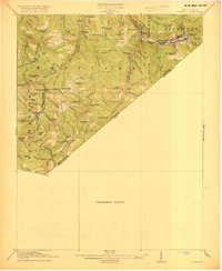
Other maps of this area

1889 · Nicholas
USGS Topo · 1:125,000

1891 · Nicholas
USGS Topo · 1:125,000

1891 · Huntersville
USGS Topo · 1:125,000

1894 · Huntersville
USGS Topo · 1:125,000

1901 · Nicholas
USGS Topo · 1:125,000

1915 · Webster Springs
USGS Topo · 1:48,000
1915 · Cowen
USGS Topo · 1:48,000
1917 · Cowen
USGS Topo · 1:62,500
1918 · Webster Springs
USGS Topo · 1:62,500
1918 · Richwood
USGS Topo · 1:62,500