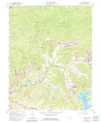
1967 Map of Gilboa
USGS Topo · Published 1988About this map
The rugged coal and timber lands of Nicholas County are defined by deep-cut stream valleys and emerging energy infrastructure in this mid-century survey. Central to the map is the settlement of Gilboa, situated at a key crossroads between Peters Creek and Buck Garden Creek. The landscape is heavily marked by the region's extraction history, showing numerous Strip Mines and scattered Gas Wells throughout the Grant and Summersville districts. In the southeast, the creation of Summersville Lake has significantly altered the terrain along the Gauley River watershed, with areas marked for controlled inundation near McClung Branch.
Find a feature on this map
55 named features on this map. Tap any name to fly to it.
Don’t see what you’re looking for? This feature index may not catch every label — zoom into the map to look around manually.
Map Details
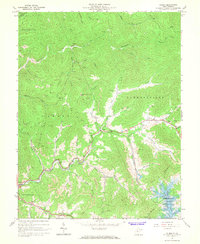
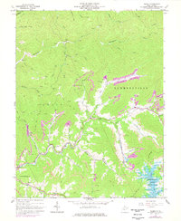
Editions of this 1967 Gilboa Map
3 editions found
Other maps of this area

1889 · Nicholas
USGS Topo · 1:125,000

1891 · Nicholas
USGS Topo · 1:125,000

1897 · Kanawha Falls
USGS Topo · 1:125,000

1900 · Kanawha Falls
USGS Topo · 1:125,000

1901 · Nicholas
USGS Topo · 1:125,000

1901 · Kanawha Falls
USGS Topo · 1:125,000

1908 · Clay
USGS Topo · 1:48,000

1908 · Fayetteville
USGS Topo · 1:48,000

1910 · Clay
USGS Topo · 1:62,500

1910 · Fayetteville
USGS Topo · 1:62,500