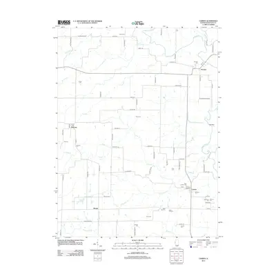
2012 Map of Camden
USGS Topo · Published 2012About this map
The La Moine River winds through the northern reaches of this Schuyler County landscape, defining the character of a region defined by its dispersed rural settlements and extensive network of family cemeteries. Brooklyn and Huntsville serve as primary anchors, with the latter featuring a local Po and the Huntsville Cem. The terrain is deeply etched by numerous waterways including Lewis Cr, Cedar Cr, and Little Cedar Cr, which eventually lead toward the settlement of Camden in the southeast. Genealogists will find a high density of burial sites scattered across the township, such as Mecum Cem, Markee Cem, and North Cady Cem, reflecting generations of local family residency. The presence of Croxton Lake and the Clay Bank terrain feature provide specific landmarks within this predominantly agricultural and riparian environment.
Find a feature on this map
80 named features on this map. Tap any name to fly to it.
Don’t see what you’re looking for? This feature index may not catch every label — zoom into the map to look around manually.
Map Details
Editions of this 2012 Camden Map
This is the sole edition of this map. No revisions or reprints were ever made.
Other maps of this area

1912 · Macomb
USGS Topo · 1:62,500

1913 · Colchester
USGS Topo · 1:62,500

1914 · Macomb
USGS Topo · 1:62,500

1923 · Rushville
USGS Topo · 1:62,500

1926 · Rushville
USGS Topo · 1:62,500

1946 · Augusta
USGS Topo · 1:62,500

1949 · Augusta
USGS Topo · 1:62,500

1958 · Burlington
USGS Topo · 1:250,000

1961 · Burlington
USGS Topo · 1:250,000

1963 · Burlington
USGS Topo · 1:250,000