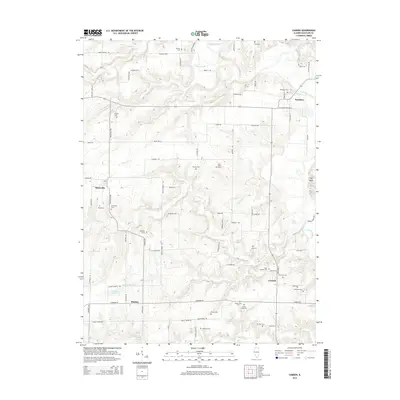
2015 Map of Camden
USGS Topo · Published 2015About this map
Brooklyn and Huntsville anchor this map of Schuyler County, where the landscape is deeply etched by the La Moine River and its network of tributaries. The map reveals a high density of small rural burial sites and family plots, such as Joey Eaton Grave and Pettijohn Grave, which offer significant value for genealogical research. The river valley is punctuated by several small bodies of water, including Musick Pond and Croxton Lake, reflecting the hydrological character of the Illinois backcountry. Smaller settlements like Mindale and Camden are connected by a grid of named rural roads such as Blackburn Bottom Rd and Nubbin Bridge Rd, illustrating the enduring agricultural patterns of the region. Notable landmarks like the Clay Bank near the eastern edge further define the local topography.
Find a feature on this map
58 named features on this map. Tap any name to fly to it.
Don’t see what you’re looking for? This feature index may not catch every label — zoom into the map to look around manually.
Map Details
Editions of this 2015 Camden Map
This is the sole edition of this map. No revisions or reprints were ever made.
Other maps of this area

1912 · Macomb
USGS Topo · 1:62,500

1913 · Colchester
USGS Topo · 1:62,500

1914 · Macomb
USGS Topo · 1:62,500

1923 · Rushville
USGS Topo · 1:62,500

1926 · Rushville
USGS Topo · 1:62,500

1946 · Augusta
USGS Topo · 1:62,500

1949 · Augusta
USGS Topo · 1:62,500

1958 · Burlington
USGS Topo · 1:250,000

1961 · Burlington
USGS Topo · 1:250,000

1963 · Burlington
USGS Topo · 1:250,000