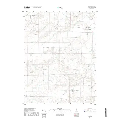
2021 Map of Camden
USGS Topo · Published 2021About this map
Brooklyn, Huntsville, and Camden anchor this rural landscape in Schuyler County, where small settlements are tied together by a dense network of county roads like Nubbin Ridge Rd and Shiloh Ch Rd. The drainage patterns of the La Moine River and its many tributaries, including Little Cedar Cr and Missouri Cr, define the local topography. For genealogists, the map is particularly detailed regarding local burials, documenting numerous family and community sites such as Brooklyn Cem, Markee Cem, and the Joey Eaton Grave. The area maintains its agricultural character, with scattered homesteads and landmarks like Croxton Lake and Clay Bank marking the terrain between the primary townships. This survey provides a precise look at the contemporary road system and natural watercourses that have shaped these central Illinois communities for generations.
Find a feature on this map
70 named features on this map. Tap any name to fly to it.
Don’t see what you’re looking for? This feature index may not catch every label — zoom into the map to look around manually.
Map Details
Editions of this 2021 Camden Map
This is the sole edition of this map. No revisions or reprints were ever made.
Other maps of this area

1912 · Macomb
USGS Topo · 1:62,500

1913 · Colchester
USGS Topo · 1:62,500

1914 · Macomb
USGS Topo · 1:62,500

1923 · Rushville
USGS Topo · 1:62,500

1926 · Rushville
USGS Topo · 1:62,500

1946 · Augusta
USGS Topo · 1:62,500

1949 · Augusta
USGS Topo · 1:62,500

1958 · Burlington
USGS Topo · 1:250,000

1961 · Burlington
USGS Topo · 1:250,000

1963 · Burlington
USGS Topo · 1:250,000