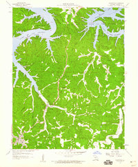
1959 Map of Camdenton
USGS Topo · Published 1960About this map
Lake of the Ozarks dominates the northern reaches of this mid-century survey, its winding shoreline creating intricate features like Crabtree Cove and Linn Creek Bend. The landscape reveals a fascinating transition of local centers, showing the proximity between the town of Camdenton and the settlement at Linn Creek, alongside the site of Old Linn Creek near the water's edge. This positioning illustrates the region's geographical shift following the creation of the reservoir.
Find a feature on this map
46 named features on this map. Tap any name to fly to it.
Don’t see what you’re looking for? This feature index may not catch every label — zoom into the map to look around manually.
Map Details
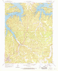
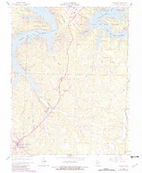
Editions of this 1959 Camdenton Map
3 editions found
Other maps of this area

1888 · Versailles
USGS Topo · 1:125,000

1893 · Versailles
USGS Topo · 1:125,000

1932 · Versailles No 4
USGS Topo · 1:48,000

1933 · Stoutland
USGS Topo · 1:62,500

1934 · Macks Creek
USGS Topo · 1:48,000

1934 · Camdenton
USGS Topo · 1:24,000

1934 · Purvis
USGS Topo · 1:24,000

1934 · Toronto
USGS Topo · 1:24,000

1934 · Lake Ozark
USGS Topo · 1:24,000

1934 · Bagnell
USGS Topo · 1:24,000