
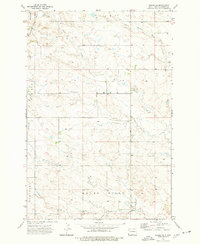
1973 Map of Camel Butte
USGS Topo · Published 1977About this map
Adelaide Hills rise above the high plains of Bowman County in this 1970s topographical record. The landscape is defined by the drainage basins of Skull Creek, Horse Creek, and the North Fork Grand River, which carve through the prairie terrain. Rural life is anchored by small community centers such as Bethany Ch and local education hubs including Nebo Sch and Langberg Sch. Prominent natural landmarks like Camel Butte and Long Grassy Butte serve as navigational anchors in a region where the economy is driven by energy and infrastructure, evidenced by numerous Oil Wells and scattered Gravel Pits. The map also traces the legal geography of the era through the township boundaries of Adelaide, Nebo, and Langberg.
Find a feature on this map
17 named features on this map. Tap any name to fly to it.
Don’t see what you’re looking for? This feature index may not catch every label — zoom into the map to look around manually.
Map Details
Editions of this 1973 Camel Butte Map
This is the sole edition of this map. No revisions or reprints were ever made.
Other maps of this area

1935 · Buffalo
USGS Topo · 1:125,000

1953 · Dickinson
USGS Topo · 1:250,000

1954 · Lemmon
USGS Topo · 1:250,000

1957 · Dickinson
USGS Topo · 1:250,000

1957 · Lemmon
USGS Topo · 1:250,000

1969 · Ladner NE
USGS Topo · 1:24,000

1969 · Table Mountain
USGS Topo · 1:24,000
1973 · Rhame SE
USGS Topo · 1:24,000

1973 · Griffin
USGS Topo · 1:24,000

1973 · Cedar Hills
USGS Topo · 1:24,000