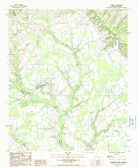
1987 Map of Cameron
USGS Topo · Published 1988About this map
Cameron serves as the primary hub of this landscape in the late 1980s, where the local road network and a small Landing Strip facilitate regional transit. The geography is defined by a complex hydrologic system, including the extensive Four Hole Swamp and the uniquely named Flea Bite Creek, which drains into Moss Lake. These water systems, alongside Halfway Swamp Creek and Bull Swamp, illustrate the low-lying, wetlands-heavy character of the boundary region between Calhoun and Orangeburg Counties.
Find a feature on this map
15 named features on this map. Tap any name to fly to it.
Don’t see what you’re looking for? This feature index may not catch every label — zoom into the map to look around manually.
Map Details
Editions of this 1987 Cameron Map
This is the sole edition of this map. No revisions or reprints were ever made.
Other maps of this area

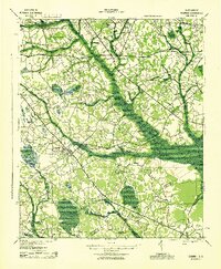
1920 · Bowman
USGS Topo · 1:48,000
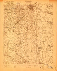
1920 · Orangeburg
USGS Topo · 1:48,000
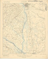
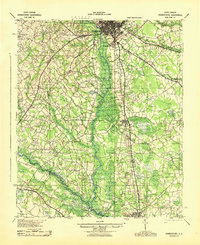
1921 · Orangeburg
USGS Topo · 1:62,500
1921 · Bowman
USGS Topo · 1:62,500
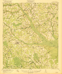
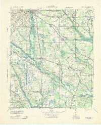
1943 · Bowman
USGS Topo · 1:62,500
1943 · Orangeburg
USGS Topo · 1:125,000
1943 · Orangeburg
USGS Topo · 1:62,500
1946 · Elloree
USGS Topo · 1:62,500
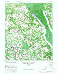
1946 · St. Matthews
USGS Topo · 1:62,500

1954 · Augusta
USGS Topo · 1:250,000