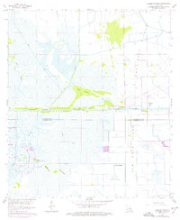
1960 Map of Cameron Farms
USGS Topo · Published 1976About this map
Gum Cove Ridge stands as a prominent topographical feature in this coastal landscape, where the marshy terrain of Wild Prairie meets the industrial and transport infrastructure of southwest Louisiana. The area is defined by its complex water network, centered on the Intracoastal Waterway and the winding Black Bayou. This 1960 survey, updated with 1975 revisions, captures a pivotal period for the region's extractive economy, notably the Black Bayou Oil Field and the Gum Cove Oil and Gas Field. Small-scale transport and local industry are evidenced by the Gum Cove Ferry and Sutton Slip, while the presence of the Pirogue Trail hints at traditional navigation methods used through the wetlands. The transition from the parish of Calcasieu to Cameron is marked across a landscape dotted with named high points like Bird Island, Rabbit Island, and Deer Island, illustrating how subtle elevation changes dictated human use of the marsh.
Find a feature on this map
20 named features on this map. Tap any name to fly to it.
Don’t see what you’re looking for? This feature index may not catch every label — zoom into the map to look around manually.
Map Details
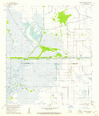
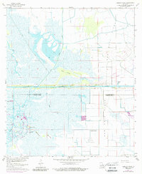
Editions of this 1960 Cameron Farms Map
3 editions found
Other maps of this area

1932 · Orange
USGS Topo · 1:62,500

1934 · Greens Bayou
USGS Topo · 1:24,000

1934 · Browns Lake
USGS Topo · 1:24,000

1934 · Five Lakes
USGS Topo · 1:24,000

1935 · Five Lakes
USGS Topo · 1:31,680

1935 · Browns Lake
USGS Topo · 1:31,680

1935 · Greens Bayou
USGS Topo · 1:31,680

1946 · Phoenix Lake
USGS Topo · 1:31,680

1947 · Sulphur
USGS Topo · 1:31,680

1947 · Vinton
USGS Topo · 1:31,680