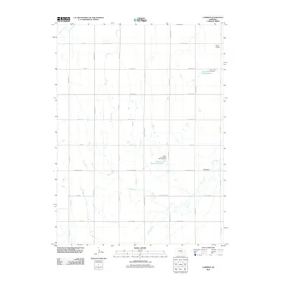
2011 Map of Cameron
USGS Topo · Published 2011About this map
Prairie Creek and Flash Creek wind through this Hall County landscape, illustrating a complex system of water management and rural settlement. The small community of Cameron sits near the eastern edge, serving as a focal point for the surrounding agricultural grid. The map highlights significant local infrastructure designed for water control, including the Taylor Floodwater Retarding Dam and the Benton and Still Dam, which contains the Benton and Still Reservoir. These features, alongside the Prairie Creek Reservoir Number 4, reveal how the mid-century expansion of irrigation and flood prevention reshaped the Nebraska plains. For those tracing local heritage, the Mount Pleasant Cemetery stands in the northeast, providing a tangible link to the families who established these farmsteads along routes like W Old Potash Hwy and W Husker Hwy.
Find a feature on this map
38 named features on this map. Tap any name to fly to it.
Don’t see what you’re looking for? This feature index may not catch every label — zoom into the map to look around manually.
Map Details
Editions of this 2011 Cameron Map
This is the sole edition of this map. No revisions or reprints were ever made.
Other maps of this area

1895 · Wood River
USGS Topo · 1:62,500

1896 · Wood River
USGS Topo · 1:125,000

1899 · Loup
USGS Topo · 1:125,000

1953 · Dannebrog
USGS Topo · 1:24,000

1953 · Rockville
USGS Topo · 1:24,000

1953 · Boelus
USGS Topo · 1:24,000

1955 · Broken Bow
USGS Topo · 1:250,000

1955 · Grand Island
USGS Topo · 1:250,000

1956 · Broken Bow
USGS Topo · 1:250,000

1957 · Grand Island
USGS Topo · 1:250,000