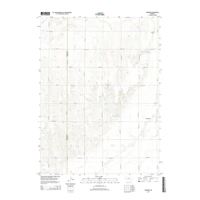
2014 Map of Cameron
USGS Topo · Published 2014About this map
The settlement of Cameron marks the eastern edge of this agricultural landscape in Hall County. This section of the Great Plains is defined by a series of intermittent streams and managed water resources, including the Benton and Still Reservoir and Prairie Cr Reservoir Number 4. The terrain is characterized by the branching paths of Prairie Cr, Flash Cr, and Sweet Cr, which dictated the early layout of regional section roads. Near the northern border, the Mt Pleasant Cem serves as a significant genealogical marker for the rural community, situated just off the grid of local routes like 150th Rd N. The map also captures the political boundary of Buffalo Co Hall Co, illustrating how these two counties share the drainage of Dry Cr. Modern infrastructure is represented by the transit corridor of Husker Hwy, which bisects the southern portion of the quadrangle.
Find a feature on this map
34 named features on this map. Tap any name to fly to it.
Don’t see what you’re looking for? This feature index may not catch every label — zoom into the map to look around manually.
Map Details
Editions of this 2014 Cameron Map
This is the sole edition of this map. No revisions or reprints were ever made.
Other maps of this area

1895 · Wood River
USGS Topo · 1:62,500

1896 · Wood River
USGS Topo · 1:125,000

1899 · Loup
USGS Topo · 1:125,000

1953 · Dannebrog
USGS Topo · 1:24,000

1953 · Rockville
USGS Topo · 1:24,000

1953 · Boelus
USGS Topo · 1:24,000

1955 · Broken Bow
USGS Topo · 1:250,000

1955 · Grand Island
USGS Topo · 1:250,000

1956 · Broken Bow
USGS Topo · 1:250,000

1957 · Grand Island
USGS Topo · 1:250,000