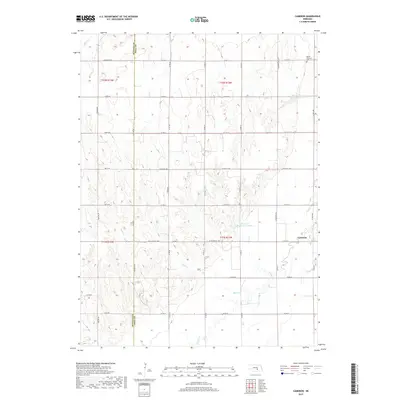
2017 Map of Cameron
USGS Topo · Published 2017About this map
Agricultural lands along the border of Buffalo Co and Hall Co define this central Nebraska landscape as documented by the U.S. Geological Survey in 2017. The map focuses on the small community of Cameron, where local road networks such as West Capital Avenue and Old Potash Highway intersect with the section lines of the Public Land Survey System. The topography is subtly marked by the drainage of Sweet Cr in the northwest and the presence of the Benton and Still Reservoir to the northeast. This map illustrates the modern continuity of the rural section-township-range grid, showing how irrigation and water management features like the reservoir integrate with established farmstead sites and local township boundaries like t11n r12w.
Find a feature on this map
8 named features on this map. Tap any name to fly to it.
Don’t see what you’re looking for? This feature index may not catch every label — zoom into the map to look around manually.
Map Details
Editions of this 2017 Cameron Map
This is the sole edition of this map. No revisions or reprints were ever made.
Other maps of this area

1895 · Wood River
USGS Topo · 1:62,500

1896 · Wood River
USGS Topo · 1:125,000

1899 · Loup
USGS Topo · 1:125,000

1953 · Dannebrog
USGS Topo · 1:24,000

1953 · Rockville
USGS Topo · 1:24,000

1953 · Boelus
USGS Topo · 1:24,000

1955 · Broken Bow
USGS Topo · 1:250,000

1955 · Grand Island
USGS Topo · 1:250,000

1956 · Broken Bow
USGS Topo · 1:250,000

1957 · Grand Island
USGS Topo · 1:250,000