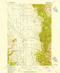
1950 Map of Cameron
USGS Topo · Published 1954About this map
Madison River waters define the central corridor of this 1950s Madison County landscape, where the wide alluvial floor of the Cameron Bench meets the rising slopes of the Madison Range. The small settlement of Cameron serves as a hub for a network of family-operated livestock operations, including the Storey Ranch, Olsen Ranch, and Armitage Ranch. The irrigation and transport patterns visible here reflect a mid-century ranching economy reliant on gravity-fed ditches and the Md Atee Bridge crossing.
Find a feature on this map
53 named features on this map. Tap any name to fly to it.
Don’t see what you’re looking for? This feature index may not catch every label — zoom into the map to look around manually.
Map Details
Editions of this 1950 Cameron Map
5 editions found
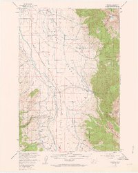
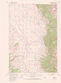
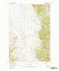
Other maps of this area

1888 · Three Forks
USGS Topo · 1:250,000

1894 · Three Forks
USGS Topo · 1:250,000

1895 · Three Forks
USGS Topo · 1:250,000

1947 · Bozeman
USGS Topo · 1:250,000

1948 · Bozeman
USGS Topo · 1:250,000

1949 · Varney
USGS Topo · 1:62,500

1949 · Ennis
USGS Topo · 1:62,500

1950 · Cliff Lake
USGS Topo · 1:62,500

1950 · Hebgen Dam
USGS Topo · 1:62,500

1950 · Cameron
USGS Topo · 1:62,500