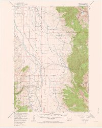
1950 Map of Cameron
USGS Topo · Published 1963About this map
The Madison River carves through the heart of this Madison County landscape, separating the high peaks of the Madison Range from the broad agricultural plateau of the Madison Bench. In the early 1950s, this region supported a network of family-held properties including the Storey Ranch, Olsen Ranch, and Armitage Ranch, reflecting the area's deep-rooted ranching economy. Industrial activity is visible in the southwestern gulches where the Mountain Tall Mine, Ruby Mine, and Krauss Sawmill operated, indicating a landscape defined by both timber and mineral extraction.
Find a feature on this map
50 named features on this map. Tap any name to fly to it.
Don’t see what you’re looking for? This feature index may not catch every label — zoom into the map to look around manually.
Map Details
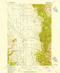
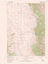
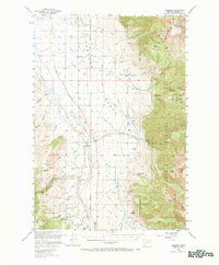
Editions of this 1950 Cameron Map
5 editions found
Other maps of this area

1888 · Three Forks
USGS Topo · 1:250,000

1894 · Three Forks
USGS Topo · 1:250,000

1895 · Three Forks
USGS Topo · 1:250,000

1947 · Bozeman
USGS Topo · 1:250,000

1948 · Bozeman
USGS Topo · 1:250,000

1949 · Varney
USGS Topo · 1:62,500

1949 · Ennis
USGS Topo · 1:62,500

1950 · Cliff Lake
USGS Topo · 1:62,500

1950 · Hebgen Dam
USGS Topo · 1:62,500

1950 · Cameron
USGS Topo · 1:62,500